


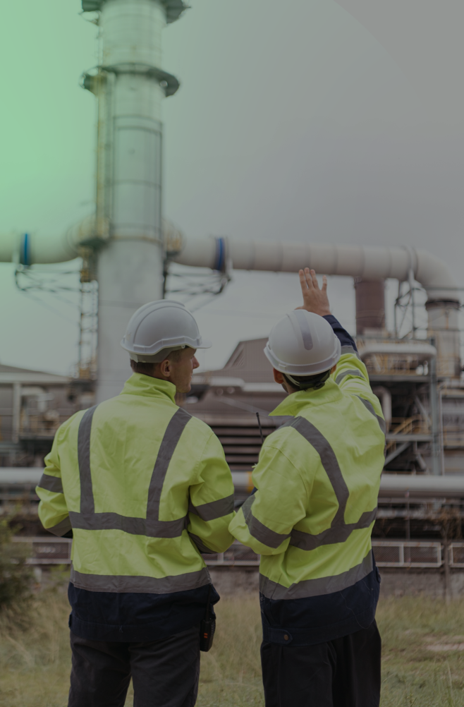

Proven Where It Matters
From subsea pipelines, offshore windmills, our systems perform where failure isn't an option. With 25+ years in high-risk industries—offshore, power, transport, and urban infrastructure—we’ve digitized over 1,000 offshore platforms, thousands of kilometers of pipeline and transportation coridries, and mapped millions of square kilometers for cities and coastlines.

Built by Engineers. Refined by Experience.
We don’t just develop maps and models—we’ve lived the complexity they’re meant to solve. GeoSoft was founded by engineers who spent decades on live assets. That’s why every scan, tag, and model we deliver is built for decisions, not just documentation.

From 3D Models to Situational Intelligence
Our digital platforms make complex environments not just visible—but self-aware. We turn static models into dynamic environments—overlaying live data, diagnostics, GIS layers, and engineering logic—so teams don’t just see what’s there, they understand what matters.

One Platform. Every Angle.
Subsea surveys, laser scanning, aerial LiDAR, GIS, and engineering models—seamlessly connected. Our inhouse digital Twin Platform Virtual Eye fuses every spatial layer into one contextual twin, cutting development time by 80% and eliminating rework. It talks to SAP, integrates IoT, and scales with minimal training.

Global Footprint, Local Fluency
Our teams deploy within 48 hours across five continents—and speak the language of both operations and regulation. From ADNOC to Shell, Saudi to Stavanger, we understand how to deliver technical excellence without delay, compliance issues, or cultural blind spots.

Built for Now. Ready for What’s Next
We believe AI, automation, and geospatial tech must serve the mission—not distract from it. That’s why our tools evolve with your needs—whether that’s predictive maintenance, ESG compliance, or next-gen immersive visualization.

Solutions Shaped With You Not Just For You
We don’t build in a vacuum. GeoSoft’s Digital Twin solution evolves through close collaboration with your engineers, planners, and field teams. From pain-point discovery to iterative sprints, we co-create tools that solve real-world problems—not imagined ones. That’s how we make digital transformation stick.
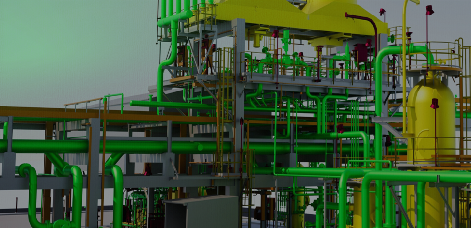

Oil & Gas (Onshore & Offshore)
We support operators with precise digital workflows across platforms, pipelines, and brownfield plants—reducing offshore rework, enabling faster shutdown planning, and delivering verifiable data for engineering and asset teams.

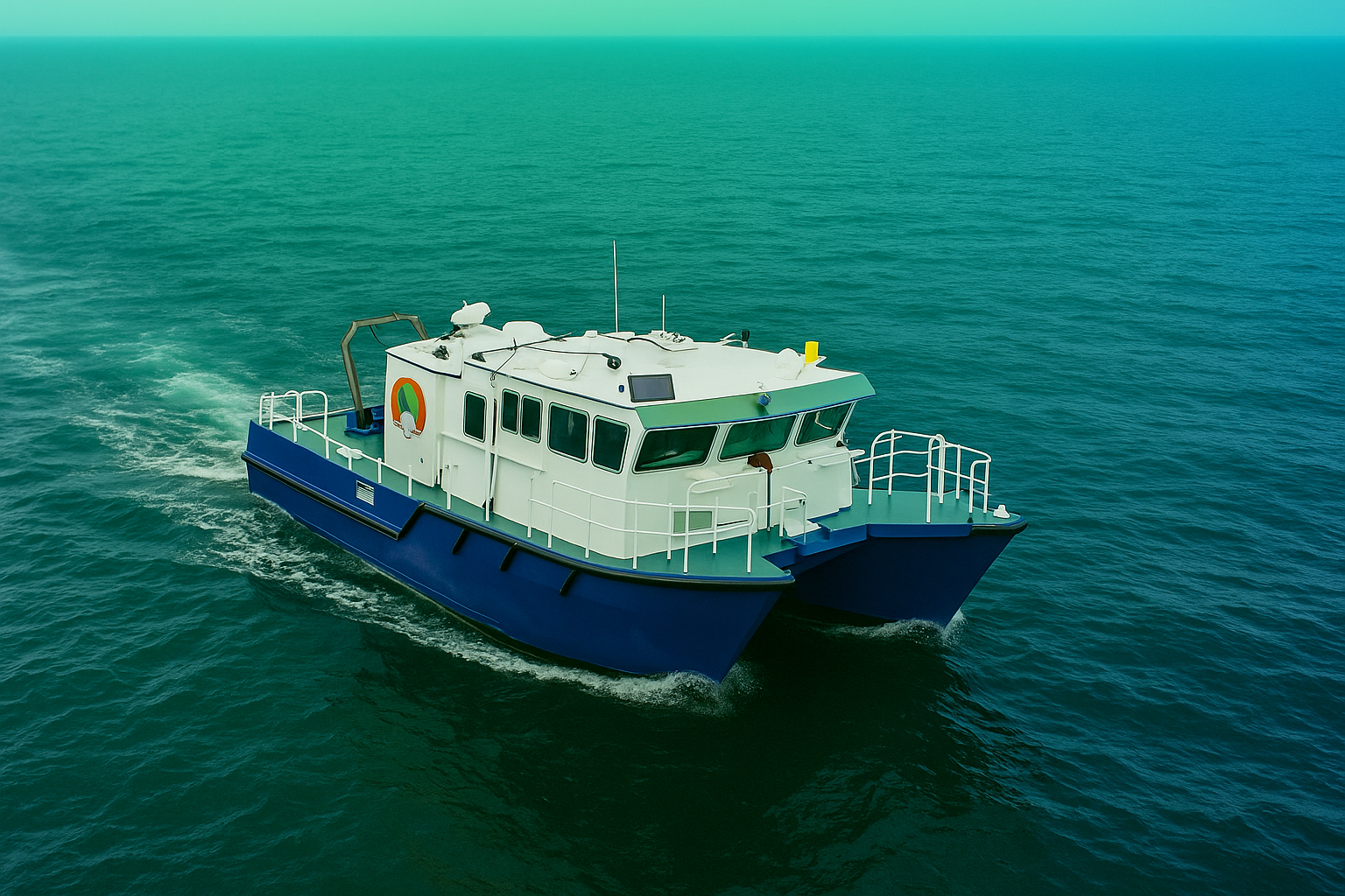
Offshore Wind & Subsea
From seabed surveys to jacket alignment and cable routing, we help renewable and subsea energy teams de-risk installations with high-resolution mapping, accurate bathymetry, and real-time digital twins for marine operations.

Power & Utilities
We digitize power plants, integrate SAP asset data, and enable predictive maintenance through 3D models—boosting operational uptime, safety compliance, and workforce readiness for conventional and renewable energy providers.

Urban Planning & Smart Cities
City-wide mobile mapping, photogrammetry, and 3D GIS integration help planners visualize terrain, utilities, and infrastructure—making approvals faster, designs more coordinated, and long-term development smarter.

Infrastructure & Industrial Facilities
We reduce clashes, delays, and redesigns in complex sites by delivering high-accuracy scans and models—supporting construction, upgrades, and facility expansion with real-world geometry you can build on.

Mining & Geo-Industrial
Our geotechnical and structural surveys support safe excavation, foundation design, and environmental compliance—providing accurate subsurface insight and surface movement monitoring in remote and regulated industrial zones.

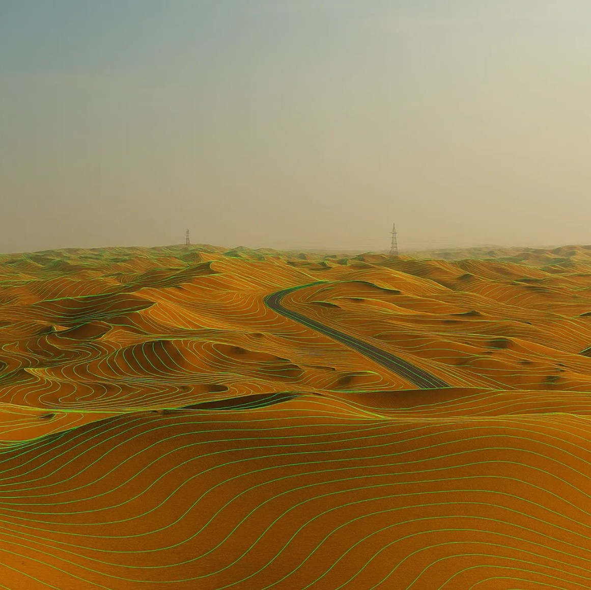
Transport & Corridors
Whether for roads, pipelines, or transmission lines, we deliver full-corridor mapping, terrain models, and utility clearance data—streamlining route design, construction, and stakeholder approvals from concept to execution.

Government & Municipalities
We help public agencies modernize planning with settlement analysis, topographic surveys, and spatial models—making projects easier to visualize, defend, and deliver on time and within scope.