How We Execute AUV/USV Surveys
AUV Pipeline & Corridor Surveys
Our AUVs are configured with multibeam echo sounders, side-scan sonar, sub-bottom profilers, high-definition cameras, and environmental sensors to fly low and precisely over pipelines, cables, and seabed corridors — capturing centimetre-scale resolution data across the full width of every survey pass. Multi-stage mission architectures are designed and executed sequentially — from broad reconnaissance sweeps and detailed pipeline inspection passes to targeted debris field identification and seabed change detection runs
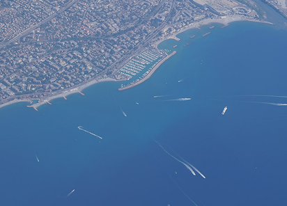
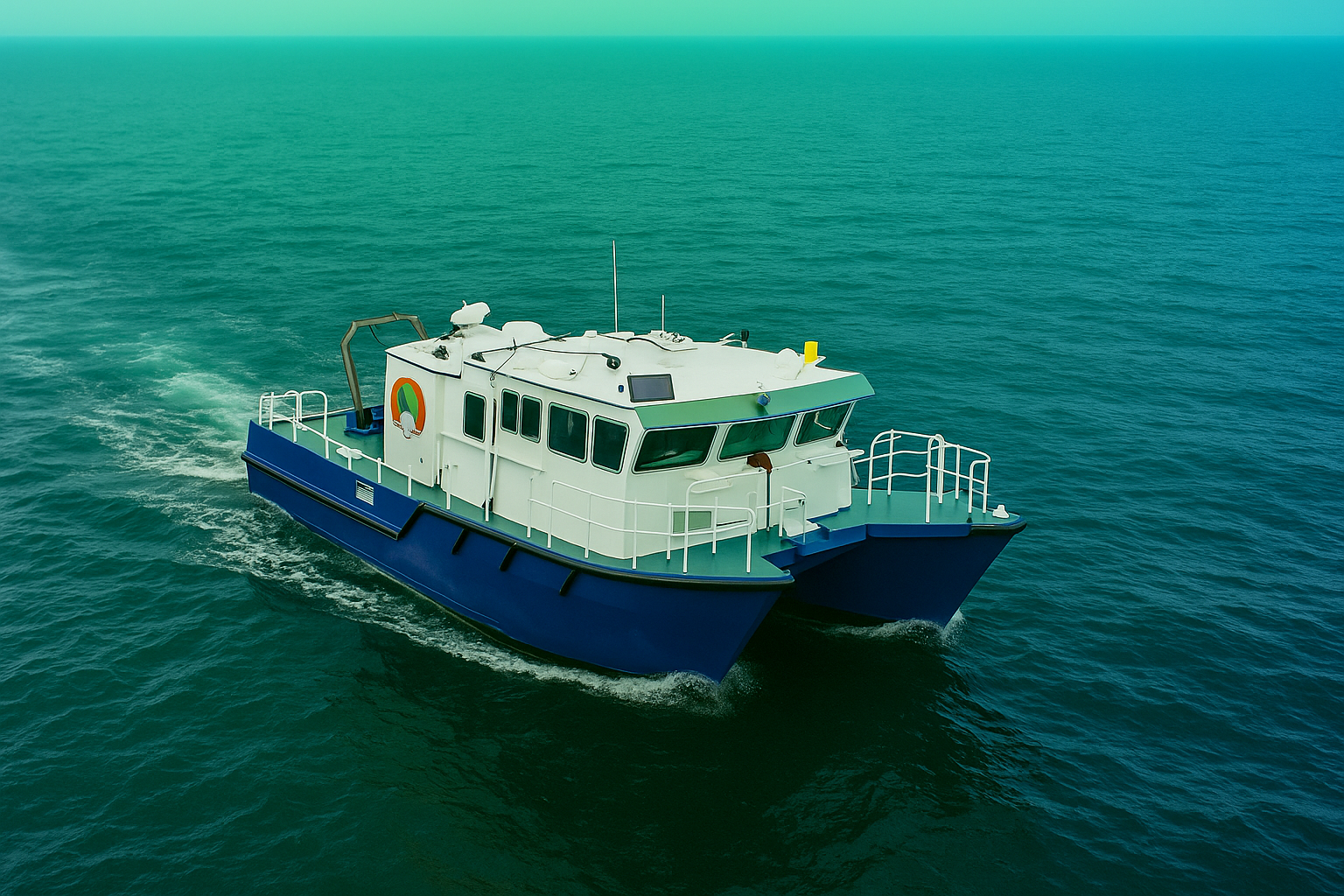
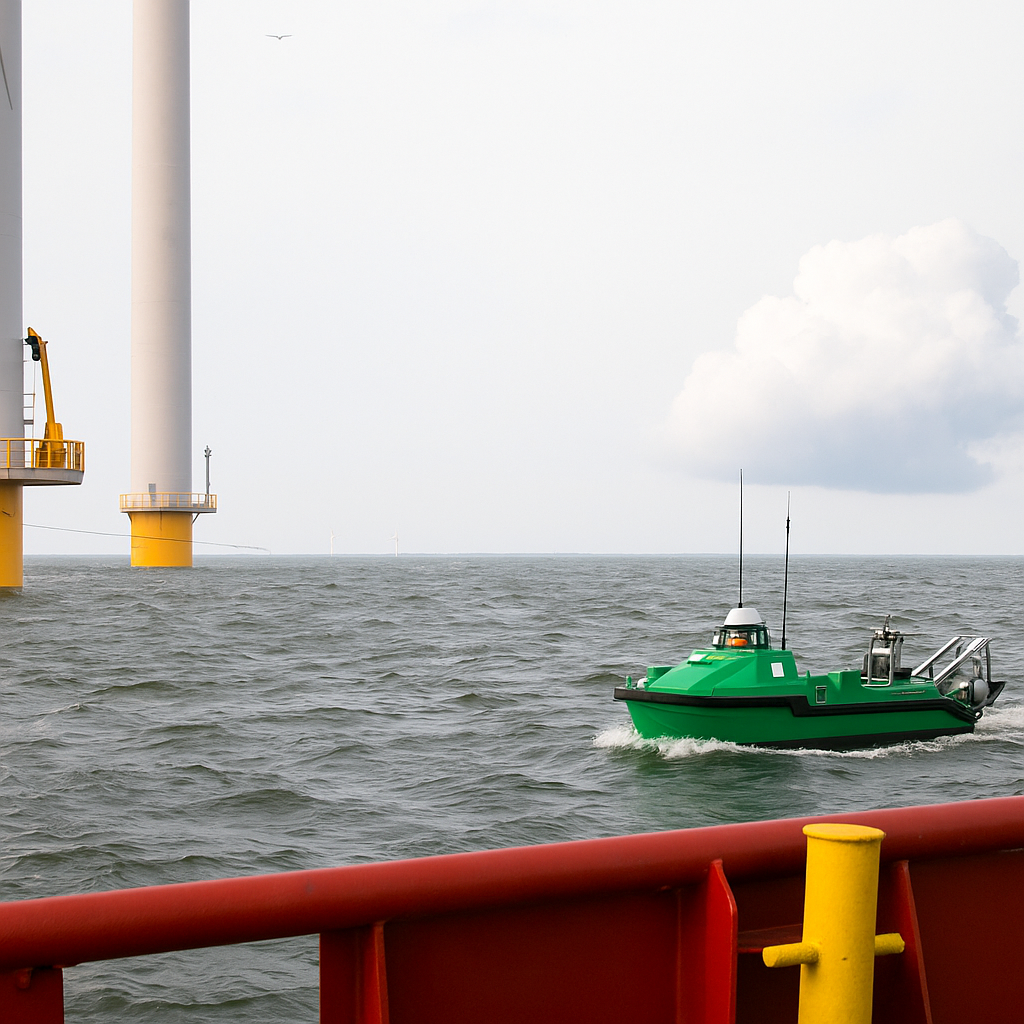
Compact USV Deployment
We deploy compact, highly capable USVs integrated with precision GNSS/INS navigation and multibeam echo sounders into shallow, constrained, and environmentally sensitive areas where crewed vessels cannot safely or economically operate. Our USVs execute autonomous line-following acquisition missions that collect IHO-compliant bathymetry, acoustic backscatter, and surface data across the full survey area without the operational constraints, personnel exposure, or day-rate economics that crewed operations carry.
INS, DVL & Acoustic Positioning
Advanced navigation suites combining inertial navigation systems (INS), GNSS, Doppler Velocity Logs (DVL), and acoustic positioning aids maintain precise track spacing and sensor altitude throughout every mission — even in strong tidal currents, complex bathymetry, and GPS-degraded environments where lesser systems lose positional integrity. Integrated collision-avoidance systems operate continuously, ensuring safe, uninterrupted data acquisition across congested routes and structurally complex survey areas.
MultiSensor Data Fusion
Acquisition parameters, timing, and spatial referencing are standardised across all AUV and USV platforms from the outset, ensuring that bathymetry, imagery, sub-bottom, and magnetics datasets can be seamlessly merged into a single, consistent geospatial framework. Parallelised processing pipelines and automated QC workflows are applied immediately upon data ingest — delivering validated Digital Terrain Models (DTMs), acoustic mosaics.