Capture – 3D Laser Scanning & Reality Capture

Digital twin

We transform physical assets into exact digital replicas using high-definition laser scanning and reality capture technologies. Our submillimeter-accurate data forms the foundation for dimensional control surveys, construction verification, and precise as-built documentation.

From Physical Assets to Dimensional Truth

Reality capture transforms physical environments into precise, measurable digital assets — point clouds, 3D models, and georeferenced imagery — giving engineering, construction, and operations teams an unambiguous geometric record of every structure, system, and surface.

Our 3D laser scanning and reality capture services eliminate that uncertainty. We deliver classified, registered point clouds and intelligent parametric models that protect your design assumptions, validate construction tolerances, and provide the geometric confidence your capital decisions demand — across brownfield modifications, asset integrity programmes, and new construction alike.

Using terrestrial laser scanners (TLS), SLAM-based mobile LiDAR, drone-mounted sensors, and structured-light systems, we capture the exact as-built condition of facilities, corridors, and assets. The result is a complete, trusted dimensional baseline that replaces outdated drawings and eliminates field guesswork from day one. We mobilise rapidly, embed experienced survey crews on-site, and return validated, engineering-ready data in days — not weeks. From concept through commissioning and into operations, our dimensional ground truth keeps your teams aligned, your models current, and your project on course.

How We Capture Reality: Technology That Measures Everything Above and Below Ground

Terrestrial Laser Scanning TLS

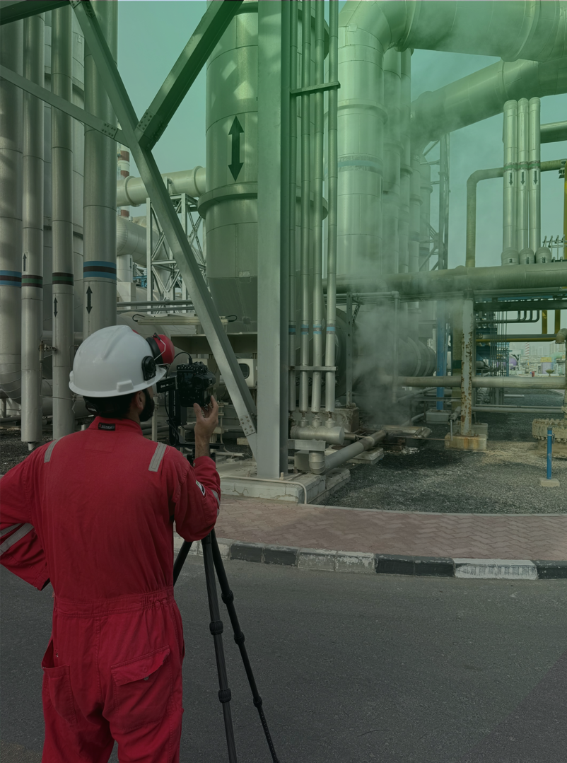
Tripod-mounted phase-shift and time-of-flight scanners capture full 360° point clouds at rates exceeding two million points per second, delivering ±1–2 mm range accuracy alongside high-resolution colour panoramic imagery from every setup position. Each deployment simultaneously records precise geometry and surface reflectance — producing both dimensional models and condition documentation without a second mobilisation.

SLAM Based Mobile LiDAR

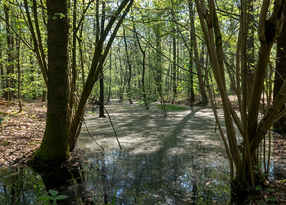
Wearable and handheld scanning systems using Simultaneous Localisation and Mapping (SLAM) algorithms to capture continuous point clouds at walking speed — covering 3,000+ m² per hour at 15–20mm realworld accuracy. Operators move freely through complex multilevel environments — pipe racks, cable trays, stairwells, tank farms — without tripod setups, reducing field time by up to 70% compared to static TLS while maintaining sufficient accuracy for as built documentation, clash detection, and space management.

Aerial LiDAR & Drone Photogrammetry

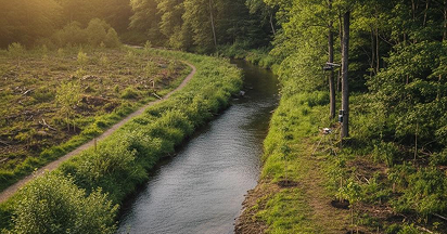
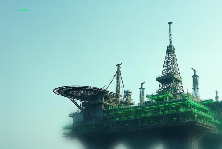
UAV mounted LiDAR sensors emitting laser pulses that penetrate vegetation canopy and map terrain, structures, and linear assets with ±2–5cm vertical accuracy at densities exceeding 100 points per m². Drone photogrammetry captures overlapping high-resolution imagery processed into Ortho mosaics, digital surface models, and textured 3D meshes — filling the gap between ground level scanning and satellite scale mapping for large industrial sites, corridor surveys, and stockpile volumes.

Hybrid Reality Capture Workflows

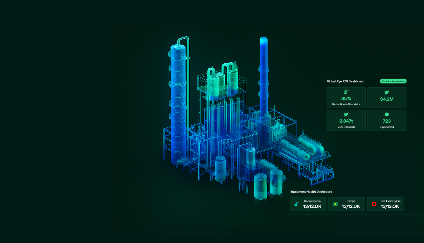
Our most demanding projects combine all platforms into a single georeferenced dataset. TLS anchors survey grade control, SLAM mobile scanning fills complex interiors at speed, aerial LiDAR covers rooftops, elevated structures, and sitewide context, and close-range photogrammetry resolves critical interfaces — all registered into one seamless, coordinate controlled 3D model of the entire asset.

What We Deliver: Dimensional Intelligence

High Definition Point Cloud Datasets

Registered, classified point clouds in industry standard formats (LAS, LAZ, E57, RCP, PTS) with complete metadata, colour mapping, and intensity values. Submillimetre to centimetre accuracy point clouds serve as the authoritative geometric foundation for all downstream engineering, analysis, and visualisation.

Intelligent Scan to BIM Models

Parametric BIM models at specified Levels of Development (LOD 200–500) extracted from point cloud data, supporting design coordination, clash detection, MEP routing, and lifecycle asset management.

Digital Twins & Interactive 3D Environments

Navigable 3D models integrating geometric scan data with operational information, sensor feeds, and analytical layers — enabling real-time monitoring, scenario analysis, and remote collaboration.

GIS & Digital Twin Ready Geospatial Data

All outputs delivered fully georeferenced and packaged for direct ingestion into GIS, BIM, asset management, and digital twin environments — enabling seamless integration with subsea survey, utility mapping, and infrastructure management platforms.

Industries We Serve

industry image

deliver image

Oil & Gas

Pipeline Route Survey | Facility Change Detection | Methane Emission Monitoring | | Offshore Platform
Surveillance | Oil Spill Detection | SCADA-GIS Integration I AL/ML based Asset Moniroting

industry  image

industry image

AEC & Building Documentation

Scan-to-BIM Conversion | Construction Progress Monitoring | As-Built Verification | Renovation Design Support |
MEP Coordination

industry  image

deliver image

Infrastructure & Transportation

Traffic flow simulation I Urban Planning | Citizen Service Mapping | Emergency Management | Public Health
Mapping I Rail Network Monitoring | InSAR Settlement Monitoring I Digital twin Development

industry image

deliver image

Mining & Quarrying

Mineral Mapping | Open Pit Volume Monitoring | Tailings Dam Surveillance | Mining Subsidence Monitoring |
Progressive Rehabilitation Tracking | Environmental Compliance Reporting I HSE Virtual Tour

industry  image

industry image

Manufacturing & Industrial

Plant Documentation | Equipment Routing | Maintenance Planning | Digital Twins | Risk Management | VR HSE
Training

industry  image

deliver image

Utilities & Networks

Underground Mapping | Route Planning & Conflict Detection | Asset Documentation | Damage Assessment | Safety
Verification

industry image

deliver image

Coastal, Marine & Hydrographic

Shoreline Change Detection | Satellite Bathymetry | Coastal Erosion Monitoring | Marine Habitat Mapping | Flood
Inundation Modelling | Sediment Transport Analysis

industry  image

industry image

Environmental Management

Environmental Impact Assessment | Habitat Classification | Carbon Accounting | Water Quality Monitoring | Land
Degradation Assessment | Climate Change Indicators | Sustainability Reporting

industry  image

deliver image

Defense, Security & Intelligence

Force Deployment Planning | Terrain Analysis | Border Surveillance Analytics | Geospatial Intelligence (GEOINT)
And Image Intelligence (IMINT)

Our Methodology: Precision at Every Stage

A proven four-stage process ensuring accuracy, compliance, and actionable insights

deliver image

Plan with Intelligence

Before mobilizing, we begin with a data-driven understanding of your asset environment. We perform a comprehensive site intelligence review — analyzing existing drawings, access limitations, hazardous zones, operational constraints, and required accuracy levels.

deliver image

Precision Field Acquisition with real time QC

Our field teams deploy fully calibrated instruments in strict accordance with manufacturer specifications and project QA protocols. Intelligent workflows deliver real-time on-site feedback on coverage, registration integrity, and data quality

deliver image

AI-Driven Data Processing & Extraction

Curates raw data, Guides AI, Validates Output into actionable digital intelligence through a hybrid pipeline of advanced algorithms, machine learning models, and expert review.

deliver image

Decision-Ready Deliverables

Outputs are not merely models but enterprise-ready information assets. All datasets undergo independent quality assurance audits. We ensure your organization can immediately operationalize the data for planning, maintenance, and strategic decision-making.

Case Studies

We're building a greener tomorrow. Our solutions optimize operations, cut waste, and lower emissions, supporting net-zero goals.

Digital twin

Enterprise Digital Transformation for Major NOC

Virtual Eye: Unifying 40 years of fragmented asset data across 700+ platforms for one of the Middle East's largest oil field operators. Our on-premise solution integrated 20+…

700+
Platforms Integrated
20+
Engineering Systems Consolidated
Millions
High-Resolution Imagery Processed
Digital twin

Digital Twin Platform

Experience the future of offshore asset management with our digital twin development services. The Virtual Eye platform eliminates frequent site visits through real-time visual surveillance and AI-powered analytics,

90%
Faster Data Access
100%
ERP Integration
ZERO
Reduced Site Visits
Digital twin

Digital Twin & AI Solutions

Transforming asset management through automated visual recognition and AI-driven data integration. Our computer vision platform eliminates manual tag registration, enabling rapid deployment of operational digital…

95%
Accuracy
80%
Time Reduction
100%
Legacy System Integration

Why Organizations Choose Our Digital twin Services

Technical Excellence

Industry-leading accuracy specifications (±1–2 mm TLS, ±2–5 cm aerial) backed by systematic, documented QA/QC processes ensuring reliable, repeatable results across diverse project types — from offshore platforms in extreme marine environments to sensitive heritage interiors.

Operational Efficiency

Multi-platform deployment and AI-accelerated processing compress project timelines by up to 70%. What once required months of manual survey and CAD drafting now delivers registered, classified point clouds and intelligent models in days to weeks.

Integrated Solutions

Complete service delivery from project planning and field acquisition through processing, modeling, and specialized analysis — all under one roof. No fragmented vendor chains, no data conversion losses, no accountability gaps.

Industry Expertise

25+ years of specialized knowledge across regulated, high-stakes environments. We don’t just capture geometry — we understand what it means for your operations, your compliance obligations, and your capital planning decisions.

Proven ROI

Our clients consistently document measurable returns: 30–50% reduction in field rework, 20–40% faster project delivery, elimination of fabrication mismatches, and extended asset service life through predictive condition monitoring. Reality capture isn’t an expense — it’s a multiplier on every downstream decision.

The Digital twin Intelligence Advantage 

We stand at the intersection of survey engineering precision and digital innovation — transforming raw laser measurements, sensor data, and georeferenced imagery into the spatial intelligence that powers your organisation’s most consequential decisions.

Contact Our Specialist

Get in touch to discuss comprehensive terrestrial and aerial laser scanning addressing your project requirements.


Global Operations
24/7 support across multiple time zones