How We Monitor the Environment : End-to-End Precision Detection
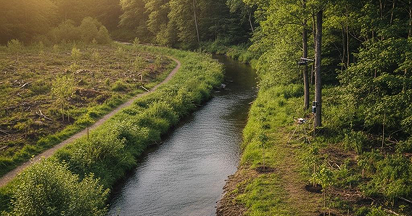
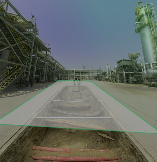
Drone mounted LiDAR Environmental Surveying
High-density terrestrial and aerial laser scanning capturing millimeter-resolution 3D
models of terrain, vegetation structure, coastal morphology, and land surface change.
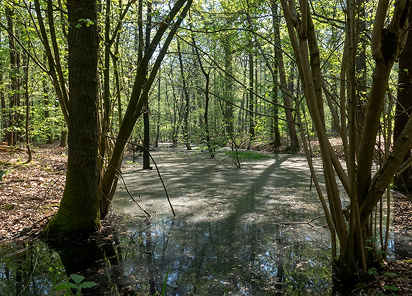
Vegetation-penetrating LiDAR reveals ground topography beneath forest canopy — critical
for erosion tracking, habitat assessment, carbon stock quantification, and flood risk modeling.
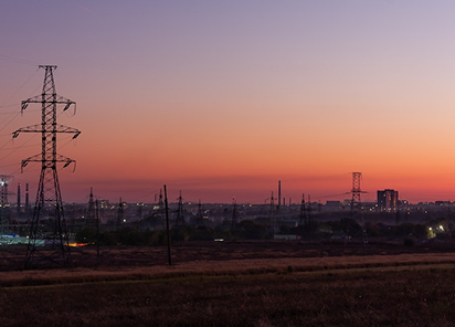
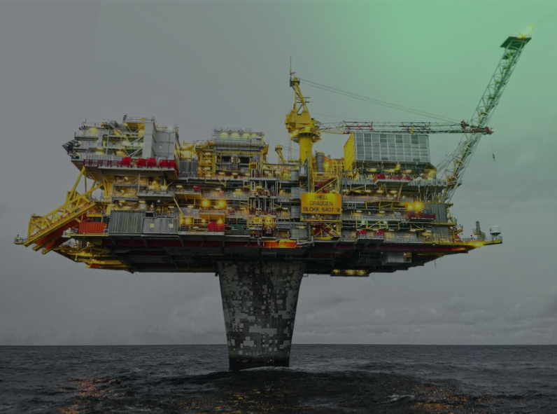
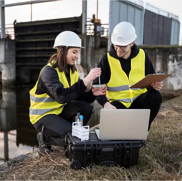
IoT Sensor Networks & Real-Time Monitoring
Wireless sensor arrays measuring air quality (PM2.5, PM10, NO₂, SO₂, CO, O₃), water quality
(pH, turbidity, dissolved oxygen, conductivity), soil conditions (moisture, nutrients, contamination),
and ambient noise — transmitting continuous data streams via LPWAN,
LTE, and 5G networks to cloud analytics platforms.
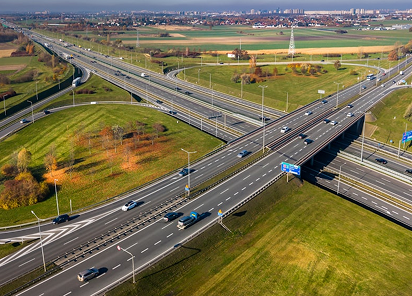
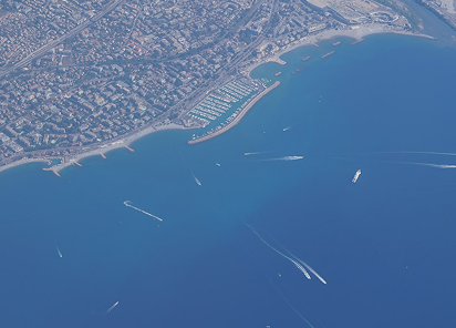
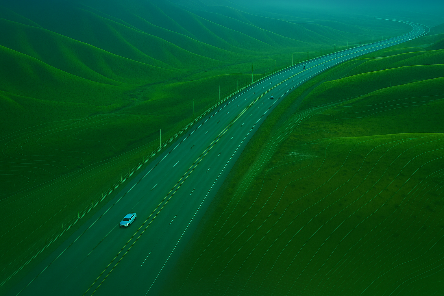
Satellite Remote Sensing & Multispectral Analysis
Orbital sensors capturing NDVI vegetation health, thermal anomalies,
land use change, water body extent, and atmospheric composition across continental scales.
Multi-temporal satellite comparison detects deforestation, urban expansion, coastal erosion,
and ecosystem degradation impossible to observe from ground level.
Hybrid Environmental Intelligence
Our most demanding projects combine all three platforms into unified environmental dashboards.
LiDAR anchors centimeter-precision terrain models, IoT sensors deliver real-time pollutant tracking,
and satellite imagery extends coverage to landscape scale — all integrated into one
georeferenced, compliance-ready monitoring system.