How We Map the Subsurface
High-Resolution Seismic & Sub-Bottom Profiling
High-resolution seismic and sub-bottom profiling systems use controlled acoustic sources and towed or hull-mounted receivers to image sediment layering, shallow faults, gas pockets, and buried objects beneath the seabed.
Processed profiles and horizon picks are converted into depth-registered geological sections and thickness maps, tying acoustic facies to geotechnical logs where available to produce engineering-ready ground models rather than uncontextualized seismic images.
Magnetometer and Gradiometer Arrays
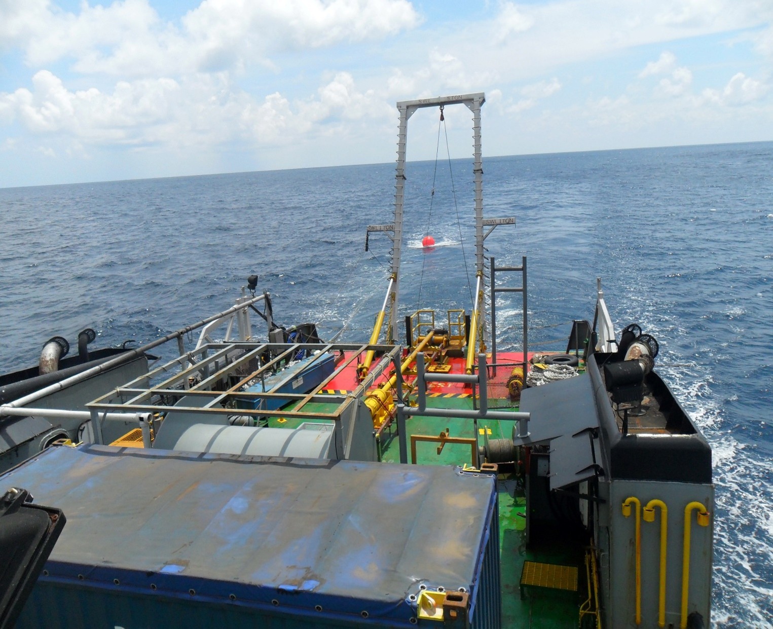
Towed or ROV-/AUV-mounted magnetometer and gradiometer arrays measure subtle variations in the Earth’s magnetic field caused by ferrous objects such as UXO, anchors, pipelines, cables, and structural debris. Dense line spacing and multi-sensor configurations enable detection and classification of discrete anomalies at route scale, supporting both greenfield development screening and clearance of legacy hazards around existing infrastructure.
Side-Scan Sonar & Seafloor Imaging
Side-scan sonar delivers high-resolution acoustic imagery of the seafloor, resolving boulders, debris, scour features, trawl marks, and cable/pipeline exposures that directly influence route engineering, burial risk, and maintenance planning. When co-acquired with magnetometer and sub-bottom data, side-scan mosaics provide the seafloor context necessary to interpret subsurface anomalies, UXO targets, and shallow hazards with confidence.
Integrated UXO and Hazard Survey Workflows
For sites with potential unexploded ordnance and boulder fields, survey spreads are designed to jointly resolve UXO, seabed obstacles, and shallow geology along development zones and cable corridors. Multi-sensor layouts typically combine magnetometer arrays, side-scan sonar, and sub-bottom profilers, configured and quality-controlled in line with recognised UXO and boulder survey guidance for offshore wind and cable installation.