How We Deliver End-to-End — Geospatial Intelligence
From Field to Point Cloud: 3D Capture
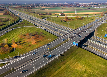
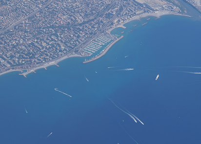
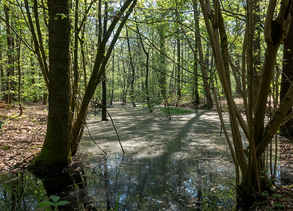
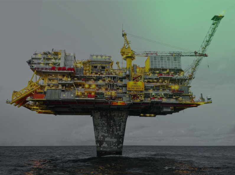
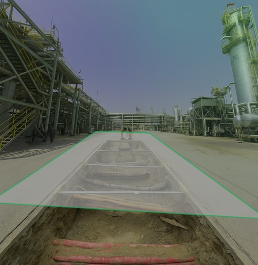
GeoSoft capture the real world with survey-grade methods that scale—from high-precision industrial as-builts to network-wide corridor mapping. Our integrated approach combines terrestrial and aerial laser scanning, SLAM/mobile LiDAR, UAV and aerial photogrammetry, very-high-resolution satellite imagery, and hydrographic survey to generate dense, accurate 3D representations of both the built and natural environment. Our engineers provide precision point clouds for complex assets—and fast corridor mapping for roads, rail, pipelines, and utilities.
Transforming Scans into BIM-Ready Digital Twins
Our Scan-to-BIM workflows produce parametric Revit and IFC models from LOD 200 to LOD 500, spanning architectural, structural, and MEP disciplines, with geometry validated against the source point cloud. For linear infrastructure, we develop integrated 3D corridor twins—roads, bridges, tunnels, rail, pipelines, and utilities—aligned in a single spatial reference, and we can fuse models with operational data (IoT/sensors and systems) to support monitoring, performance tracking, and predictive decision-making.
Enterprise GIS and Geospatial Intelligence
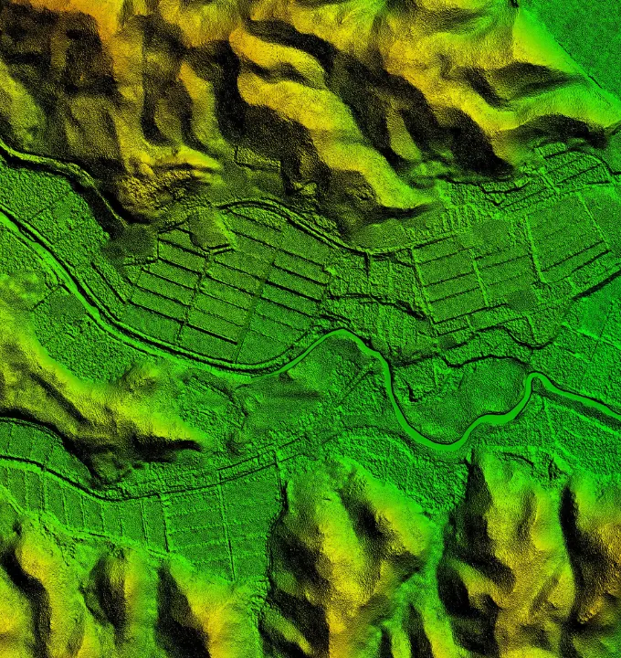
Geosoft build enterprise-grade GIS that turns spatial data into operational intelligence. We apply advanced analytics—network analysis, site suitability, multi-criteria evaluation, hydrological modelling, and spatial statistics—delivered through web GIS apps, real-time dashboards, and mobile GIS for field capture and synchronization. Geospatial AI accelerates feature extraction, classification, and anomaly detection, while remote sensing supports accurate land use/land cover mapping and multi-temporal change detection
Maps and 3D Experiences for Confident Decisions
We transform complex geospatial outputs into clear, decision-ready communication. Our cartography and visualization teams produce publication-quality engineering and thematic maps aligned to recognized symbology and best practices, alongside photorealistic 3D visualizations, textured meshes, and interactive web-based 3D viewers for stakeholder engagement —so your spatial assets remain clean, consistent, and ready for leadership decisions.