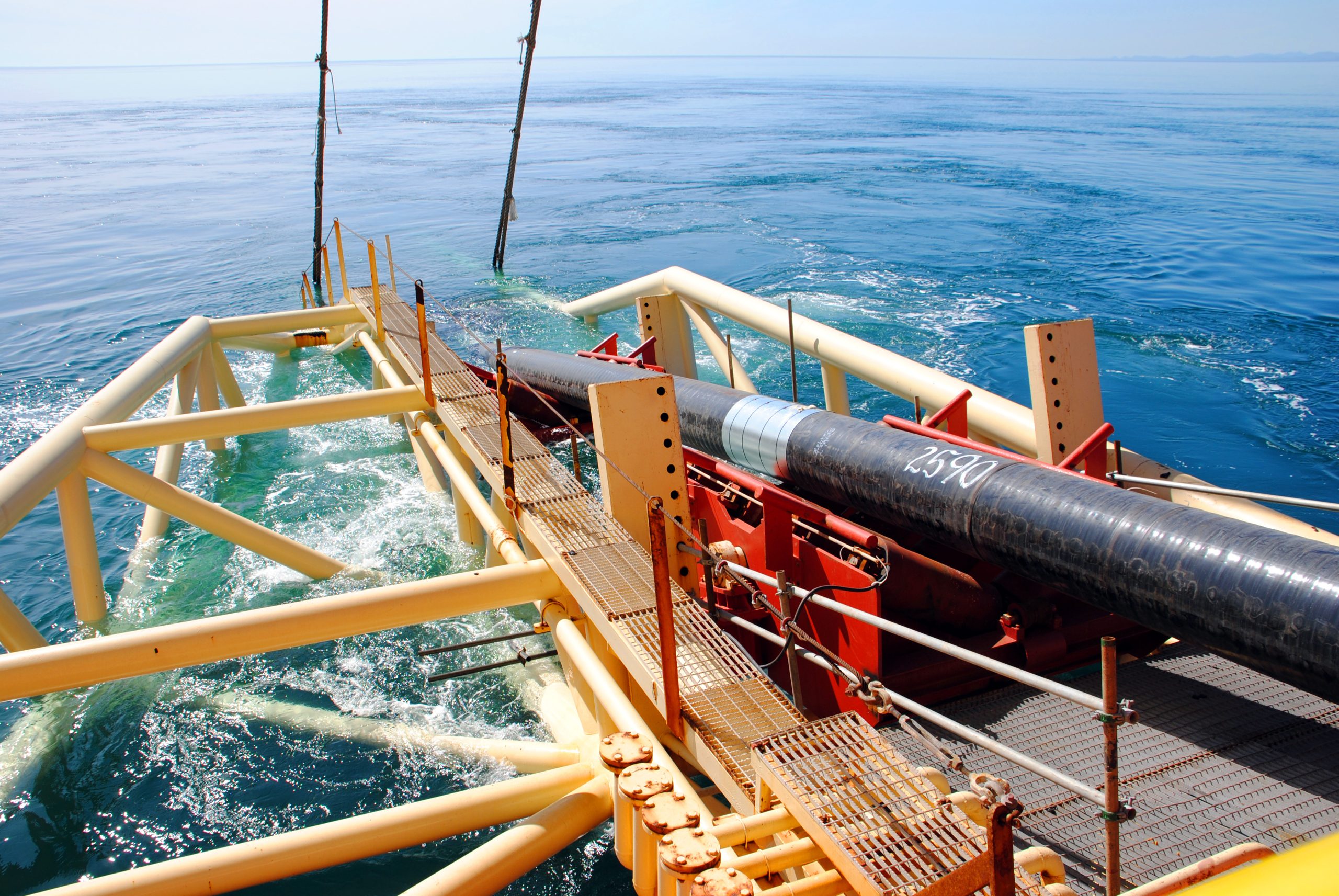
How We Monitor Touch Down
3D Sonar and Sensor-Based Tracking
Real-time visualisation of the product, catenary, and seabed — not estimated, not interpolated. We deploy ROV-mounted, sled-mounted, or USV-mounted 3D sonars and imaging systems to continuously visualise the touchdown zone, combining sonar with depth, attitude, and motion sensors on both the monitoring platform and lay vessel to compute the precise touchdown point even when visibility is zero.
Integrated with Lay Control and DP
Touchdown position, product shape, and clearance data streamed live into survey and lay control software — synchronised with vessel DP data, payout length, and tension in real time. Automated tracking algorithms maintain the touchdown within the planned corridor and flag deviations, overbending events, or out-of-tolerance catenary shapes the moment they occur, giving the lay spread team the decision-support they need without delay.
Pre-Lay, Live-Lay, and Post-Lay Support
One monitoring configuration, three critical phases — pre-lay trials and route verification, live monitoring through main lay and pull-ins, and immediate post-lay confirmation without demobilising and redeploying. The same setup that verifies the seabed before the product goes in confirms it is correctly placed once laying is complete.
Shore Approaches, Crossings, and Congested Zones
Where tolerances tighten and conditions challenge conventional monitoring, we adapt. Shore approaches, pipeline crossings, and congested infrastructure zones demand geometry adjustments, equipment substitution, and operational flexibility — and we engineer the monitoring solution around the constraint, not around what is convenient to deploy.