UXO Detection

Subsea services

We conduct Unexploded Ordnance (UXO) detection using marine magnetometers and side-scan sonar to identify and map subsea hazards. Our UXO survey services ensure construction zone safety and regulatory compliance for offshore development projects.

From Hidden Munitions to Quantified Risk

Our UXO detection and risk mitigation surveys deploy dense, overlapping magnetic gradiometer arrays and high-resolution acoustic systems — side-scan sonar, multibeam, and sub-bottom profiling — to achieve systematic, full-coverage detection of ferrous objects within and on the seabed across project corridors, turbine arrays, anchor patterns, and cable routes. Raw anomaly data is processed by experienced UXO analysts who distinguish likely munitions from non-hazardous ferrous clutter using size, shape, depth, magnetic signature, and contextual threat assessment — reducing false positive rates and ensuring that every item of genuine concern is identified, characterised, and spatially recorded with precision.

Every survey programme we design and execute follows dedicated offshore UXO guidance frameworks, including OWA and BSEE standards, to demonstrate that residual ordnance risk has been reduced to As Low As Reasonably Practicable (ALARP) before installation, drilling, or any intrusive seabed activity proceeds.

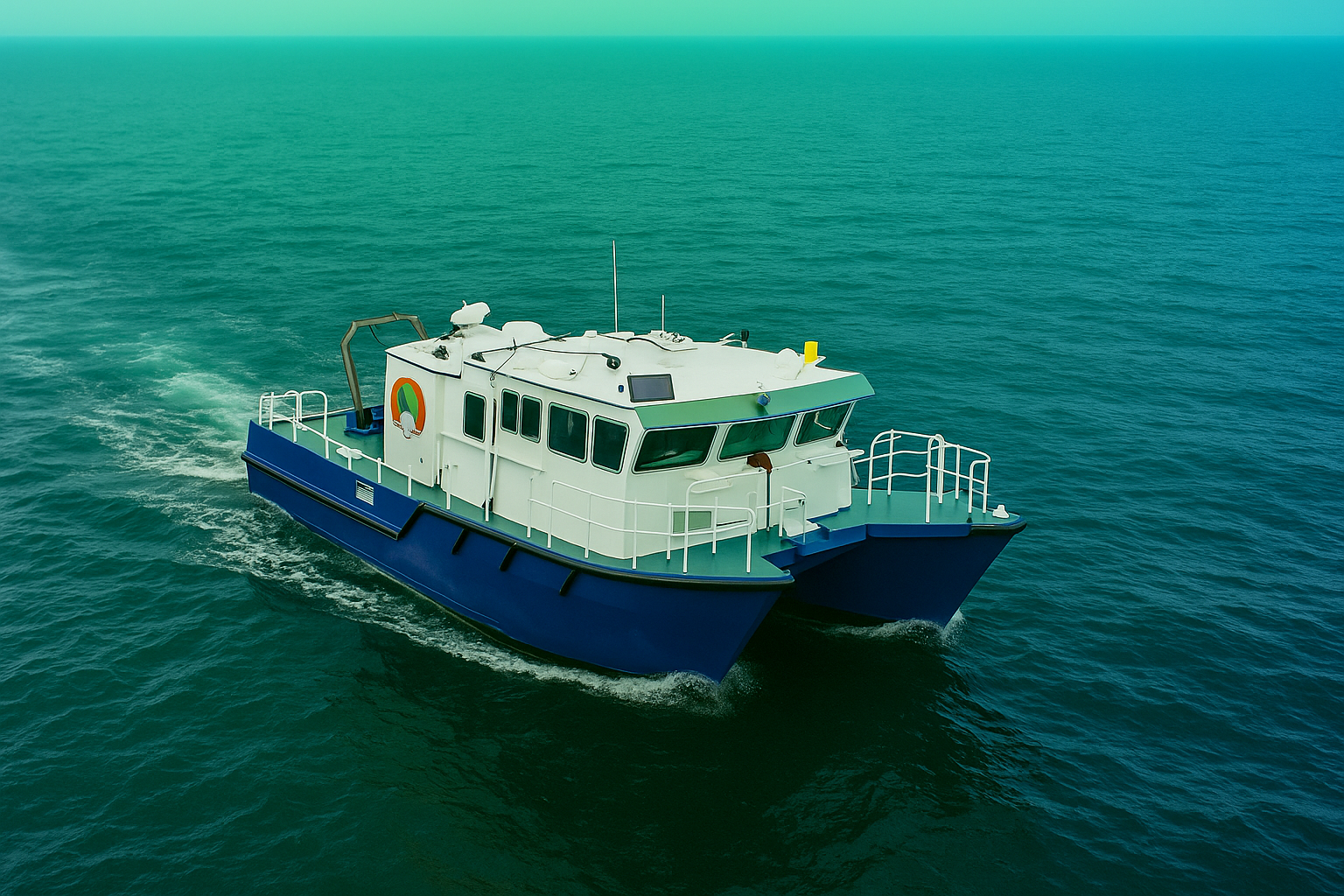
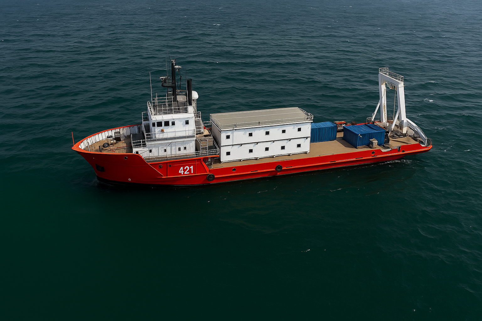
How We Detect UXO Offshore

MultiSensor Magnetic & Acoustic Arrays

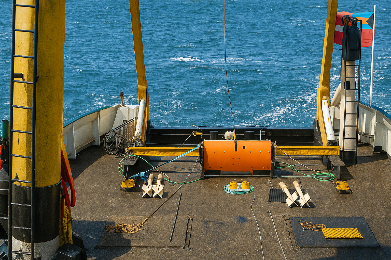
We deploy towed and ROV-mounted magnetometer and gradiometer arrays to detect ferrous anomalies and deliver high-resolution acoustic imagery of seabed objects across the full survey corridor. Line spacing, sensor height, and array geometry are precisely configured to meet defined detection thresholds for minimum UXO sizes at specified burial depths, ensuring every survey is designed and executed in full compliance with project-specific UXO survey specifications and applicable offshore guidance frameworks.

Survey Design & Real-Time QC

Every survey programme we design follows recognised best-practice guidance for geophysical UXO and boulder surveys in offshore wind and cable corridor environments, incorporating the coverage density, line spacing, and system redundancy necessary to meet detection requirements and withstand regulatory scrutiny. Onboard quality control is applied rigorously and continuously throughout acquisition so that every dataset delivered satisfies the evidentiary standard.

Advanced Processing & Classification

Large magnetic and gradiometer datasets are processed through specialised UXO workflows that correct navigation, suppress noise, and generate high-resolution digital geophysical maps highlighting anomalous subsurface and seabed responses across the full survey corridor. Advanced anomaly picking and geophysical classification techniques are then applied to systematically separate likely UXO from scrap metal, geological features, and non-hazardous ferrous clutter ensuring every project decision is grounded in expert analysis rather than raw data interpretation alone.

UXO Consultancy Integration & EOD Coordination

We work hand in hand with UXO consultants and Explosive Ordnance Disposal (EOD) teams throughout every project. Structured target packages, detailed line plans, and prioritisation matrices are prepared and delivered to ROV and diver investigation teams to guide efficient, safely sequenced disposal operations — while confirmed UXO locations, cleared area boundaries, and residual risk zones are continuously fed back into route engineering and layout optimisation workflows, ensuring that project design evolves in direct response to ground truth.

What We Deliver: Hazard Ready UXO Intelligence

pUXO Anomaly & Target Lists

Comprehensive, georeferenced catalogues of potential UXO (pUXO) and other magnetic/anomalous objects, each with ID, position, estimated depth, signal strength, size proxy, and UXOlikeness ranking. These lists underpin UXO risk assessments, investigation campaigns, and clearance or avoidance strategies along routes and within sites.

Magnetic & Acoustic Target Maps

Falsecolour anomaly maps, gradiometer intensity plots, and sidescan/multibeam mosaics that visualise the spatial distribution of pUXO, debris, and boulders across the survey area. These products allow engineers and UXO consultants to understand hazard clusters, optimise cable and pipeline routing, and define exclusion or micrositing zones.

UXO Survey & ALARP Support Reports

Formal UXO survey reports detailing survey design, equipment, acquisition parameters, QC results, processing workflows, detection thresholds, and residual risk, structured to support ALARP demonstrations. These reports are suitable for submission to regulators, insurers, and project financiers as evidence of robust hazard management.

GIS & PlanningReady UXO Data

All UXO detection outputs—targets, tracks, mosaics, and confidence layers—are delivered as GISready datasets for direct integration into route engineering, construction planning, and marine spatial planning tools. This ensures that UXO constraints are embedded in every subsequent design and operational decision, not held in standalone documents.

Industries We Serve

industry image

deliver image

Oil, Gas & Renewables

Platform Site Surveys | Pipeline Route Surveys | Offshore Wind Foundation Zones | Cable Landing Corridors | Scour Monitoring | Free-Span Detection

industry  image

industry image

Ports & Harbours

Nautical Charting | Approach Channel Surveys | Berth Pocket Mapping | Turning Circle Verification | Under-Keel Clearance Analysis | Dredge Volume Computation

industry  image

deliver image

Coastal Engineering & Climate Resilience

Shoreline Change Mapping | Beach Profile Surveys | Nearshore Morphology | Storm Impact Assessment | Breakwater Design | Coastal Defence Monitoring

industry image

deliver image

Dredging & Marine Construction

Pre/Post-Dredge Surveys | Pay-Volume Certification | Rock Placement Verification | Construction Tolerance Checks | As-Built Documentation | Material Classification

industry  image

industry image

Marine Infrastructure

Bridge Pier Scour Assessment | Causeway Alignment Surveys | Submerged Asset Inspection | Intake/Outfall Mapping | Quay Wall Condition Assessment

industry  image

deliver image

Water Resources & Inland Hydraulics

Reservoir & Dam Surveys | River Cross-Sections | Floodplain Bathymetry | Sedimentation Studies | Hydrodynamic Model Inputs

industry image

deliver image

Marine Mining

Seabed Mineral Exploration | Deep‑Ocean Resource Mapping | AUV Survey | Multiphysics Targeting | Environmental Baseline

industry  image

industry image

Environmental Management

Benthic Habitat Mapping | Seagrass & Reef Extent | Sediment Dynamics | Dredge Plume Tracking | Marine Protected Area Baseline | Change Monitoring

industry  image

deliver image

Defence & Security

Seabed Clearance | UXO Pre-Characterization | Submerged Obstruction Detection | Underwater Infrastructure Mapping | Risk & Vulnerability Assessment

Our Methodology: Precision at Every Stage

A proven four-stage process ensuring accuracy, compliance, and actionable insights

deliver image

Plan with Intelligence

Before mobilizing, we begin with a data-driven understanding of your asset environment. We perform a comprehensive site intelligence review — analyzing existing drawings, access limitations, hazardous zones, operational constraints, and required accuracy levels.

deliver image

Precision Field Acquisition with real time QC

Our field teams deploy fully calibrated instruments in strict accordance with manufacturer specifications and project QA protocols. Intelligent workflows deliver real-time on-site feedback on coverage, registration integrity, and data quality

deliver image

AI-Driven Data Processing & Extraction

Curates raw data, Guides AI, Validates Output into actionable digital intelligence through a hybrid pipeline of advanced algorithms, machine learning models, and expert review.

deliver image

Decision-Ready Deliverables

Outputs are not merely models but enterprise-ready information assets. All datasets undergo independent quality assurance audits. We ensure your organization can immediately operationalize the data for planning, maintenance, and strategic decision-making.

Case Studies

We're building a greener tomorrow. Our solutions optimize operations, cut waste, and lower emissions, supporting net-zero goals.

Subsea services

Subsea Geophysical Services

Advanced nearshore pipeline mapping using integrated geophysical technologies to determine precise burial status and mitigate environmental risks. Our comprehensive survey delivers the critical data needed…

200m
Survey Corridor Width
100%
Data Compliance
Zero
Environmental Incidents
Subsea services

Precision Positioning & Metrology

Millimeter-accurate jacket positioning using robotic total stations and high-precision leveling to ensure perfect fit-up between new and existing structures. Our exacting survey methodology delivered flawless…

±2mm
Positioning Accurac
100%
Fit-Up Accuracy
Zero
Safety Incidents

Why Organizations Choose Our UXO Detection Services

Technical Excellence

Industry-leading accuracy specifications (±1–2 mm TLS, ±2–5 cm aerial) backed by systematic, documented QA/QC processes ensuring reliable, repeatable results across diverse project types — from offshore platforms in extreme marine environments to sensitive heritage interiors.

Operational Efficiency

Multi-platform deployment and AI-accelerated processing compress project timelines by up to 70%. What once required months of manual survey and CAD drafting now delivers registered, classified point clouds and intelligent models in days to weeks.

Integrated Solutions

Complete service delivery from project planning and field acquisition through processing, modeling, and specialized analysis — all under one roof. No fragmented vendor chains, no data conversion losses, no accountability gaps.

Industry Expertise

25+ years of specialized knowledge across regulated, high-stakes environments. We don’t just capture geometry — we understand what it means for your operations, your compliance obligations, and your capital planning decisions.

Proven ROI

Our clients consistently document measurable returns: 30–50% reduction in field rework, 20–40% faster project delivery, elimination of fabrication mismatches, and extended asset service life through predictive condition monitoring. Reality capture isn’t an expense — it’s a multiplier on every downstream decision.

The Subsea Intelligence Advantage

At the intersection of marine survey rigour and advanced digital workflows, we transform raw acoustic and optical signals into validated, fully integrated subsea models that engineering, dredging, and operations teams can interrogate, trust, and act on from day one.

Contact Our Specialist

Get in touch to discuss comprehensive terrestrial and aerial laser scanning addressing your project requirements.


Global Operations
24/7 support across multiple time zones