Digital Construction & Simulation

Engineering support

Visualize and optimize every phase. Using advanced simulation technology, we model construction processes to enhance planning, scheduling, and risk management for complex engineering projects.

From Construction Planning to Confident Execution

Construction programmes fail where planning assumptions diverge from physical reality — where sequences are modelled against idealised geometry, where installation conflicts are discovered on-site rather than in the model, and where schedule risk accumulates silently until it surfaces as a delay, a rework instruction, or an unplanned shutdown. Digital Construction & Simulation eliminates that divergence before ground is broken or a single component is fabricated.

Our service combines survey-grade reality capture, intelligent 3D modelling, and construction simulation workflows into a single, coordinated digital environment — where every construction sequence, lift plan, temporary works scheme, and installation procedure is validated against verified as-built or as-designed geometry before it is executed in the field. Every decision your construction and project management teams make is grounded in dimensional truth, not assumption.

We mobilise rapidly, integrate directly with your existing project controls and engineering workflows, and deliver construction-ready simulation outputs in days — giving your site teams, planners, and project managers the spatial confidence and procedural clarity they need to execute complex construction programmes on schedule, within tolerance, and without avoidable rework.

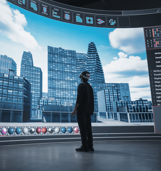
How We Deliver Digital Construction & Simulation

4D Construction Simulation

Construction sequences are modelled in four dimensions — geometry, time, resource, and logic — against verified
3D models and georeferenced site conditions. Every phase of your construction programme is simulated before mobilisation,
identifying sequencing conflicts, access constraints, and critical path risks that traditional 2D programme reviews consistently miss.
Your project team rehearses the construction sequence digitally before a single crew is deployed on site.

Lift Planning & Heavy Lift Simulation

Complex crane lifts, module installations, and heavy lift operations are simulated in full 3D against accurate facility geometry,
structural clearances, and site constraints — verifying lift radii, hook heights, rigging configurations,
and exclusion zones before the lift crew arrives. Every lift plan is produced from verified spatial data,
eliminating the dimensional assumptions that turn planned lifts into field incidents and unplanned delays.

Temporary Works & Access Simulation

Scaffolding schemes, temporary structures, access platforms, and construction haul routes are modelled and
simulated within the verified site environment — confirming that temporary works fit within available space,
meet load and clearance requirements, and do not conflict with live operations, permanent structures,
or concurrent construction activities.

Installation & Constructability Validation

Every major installation — pipe spools, structural modules, mechanical packages, and subsea components — is virtually installed within the coordinated 3D model before fabrication is complete. Constructability reviews identify fit issues, access restrictions, and tool clearance conflicts at the design stage, where resolution costs a fraction of the equivalent field modification.

What We Deliver

4D Programme Simulation Models

Time-linked 3D construction models that visualise your programme sequence against verified site geometry — enabling project managers, planners, and clients to review, interrogate, and optimise the construction programme before mobilisation begins.

Lift Studies & Heavy Lift Packages

Fully documented lift studies produced from verified 3D geometry — including crane position plans, lift radius diagrams, rigging configurations, exclusion zone drawings, and risk assessments — issued as construction-ready packages that satisfy your lifting authority, HSE requirements, and client approval process.

Constructability & Installation Reports

Structured constructability review reports identifying dimensional conflicts, access constraints, and installation risks resolved at the design stage — with recommended design modifications, alternative installation sequences, and verified clearance confirmations issued before fabrication is committed.

Digital Construction Handover Records

Progressive as-built records captured throughout the construction sequence, delivered as intelligent models, georeferenced datasets, and structured documentation packages — ensuring your operations team inherits a verified dimensional record from the moment your facility enters service.

Industries We Serve

industry image

deliver image

Oil & Gas

Pipeline Route Survey | Facility Change Detection | Methane Emission
Monitoring | | Offshore Platform
Surveillance | Oil Spill Detection | SCADA-GIS Integration I AL/ML based Asset Moniroting

industry image

industry image

AEC & Building Documentation

Scan-to-BIM Conversion | Construction Progress Monitoring | As-Built
Verification | Renovation Design Support |
MEP Coordination

industry image

deliver image

Infrastructure & Transportation

Traffic flow simulation I Urban Planning | Citizen Service Mapping |
Emergency Management | Public Health
Mapping I Rail Network Monitoring | InSAR Settlement Monitoring I Digital twin Development

industry image

deliver image

Mining & Quarrying

Mineral Mapping | Open Pit Volume Monitoring | Tailings Dam Surveillance
| Mining Subsidence Monitoring |
Progressive Rehabilitation Tracking | Environmental Compliance Reporting I HSE Virtual Tour

industry image

industry image

Manufacturing & Industrial

Plant Documentation | Equipment Routing | Maintenance Planning | Digital
Twins | Risk Management | VR HSE
Training

industry image

deliver image

Utilities & Networks

Underground Mapping | Route Planning & Conflict Detection | Asset
Documentation | Damage Assessment | Safety
Verification

industry image

deliver image

Coastal, Marine & Hydrographic

Shoreline Change Detection | Satellite Bathymetry | Coastal Erosion
Monitoring | Marine Habitat Mapping | Flood
Inundation Modelling | Sediment Transport Analysis

industry image

industry image

Environmental Management

Environmental Impact Assessment | Habitat Classification | Carbon
Accounting | Water Quality Monitoring | Land
Degradation Assessment | Climate Change Indicators | Sustainability Reporting

industry image

deliver image

Defense, Security & Intelligence

Force Deployment Planning | Terrain Analysis | Border Surveillance
Analytics | Geospatial Intelligence (GEOINT)
And Image Intelligence (IMINT)

Our Methodology: Precision at Every Stage

A proven four-stage process ensuring accuracy, compliance, and actionable insights

deliver image

Plan with Intelligence

Before mobilizing, we begin with a data-driven understanding of your asset environment. We perform a comprehensive site intelligence review — analyzing existing drawings, access limitations, hazardous zones, operational constraints, and required accuracy levels.

deliver image

Precision Field Acquisition with real time QC

Our field teams deploy fully calibrated instruments in strict accordance with manufacturer specifications and project QA protocols. Intelligent workflows deliver real-time on-site feedback on coverage, registration integrity, and data quality

deliver image

AI-Driven Data Processing & Extraction

Curates raw data, Guides AI, Validates Output into actionable digital intelligence through a hybrid pipeline of advanced algorithms, machine learning models, and expert review.

deliver image

Decision-Ready Deliverables

Outputs are not merely models but enterprise-ready information assets. All datasets undergo independent quality assurance audits. We ensure your organization can immediately operationalize the data for planning, maintenance, and strategic decision-making.

Case Studies

We're building a greener tomorrow. Our solutions optimize operations, cut waste, and lower emissions, supporting net-zero goals.

Engineering support

Integrated 3D Engineering for Brownfield Upgrades

Transforming a complex brownfield upgrade through advanced 3D engineering and a fully integrated geospatial platform. Our team combined laser scanning, intelligent modelling, digital twins, and…

3 Sites
Upgraded on a Single Platform
60%
Reduction in Engineering Rework
9 Months
From First Scan to Live Twin
Engineering support

Zero Downtime Equipment Replacement

Transforming shutdown planning through advanced 3D laser scanning and precision modeling. Our team's engineering innovation approach enabled the replacement of 2,000+ spools with zero dimensional…

2,000+
Spools Replaced
100%
Fit-Up Accuracy
Zero
Offshore Rework
Engineering support

Logistic Route Optimization Survey

Transforming offshore plant logistics through advanced SLAM technology and 3D mapping. Our team's rapid route analysis identified optimal pathways for heavy equipment transport, reducing planning…

M-W
Planning Time Reduction
100%
Obstruction Identification
Zero
Transportation Delays

Why Organizations Choose Our Unified Engineering Services

Technical Excellence

Industry-leading accuracy specifications (±1–2 mm TLS, ±2–5 cm aerial) backed by systematic, documented QA/QC processes ensuring reliable, repeatable results across diverse project types — from offshore platforms in extreme marine environments to sensitive heritage interiors.

Operational Efficiency

Multi-platform deployment and AI-accelerated processing compress project timelines by up to 70%. What once required months of manual survey and CAD drafting now delivers registered, classified point clouds and intelligent models in days to weeks.

Integrated Solutions

Complete service delivery from project planning and field acquisition through processing, modeling, and specialized analysis — all under one roof. No fragmented vendor chains, no data conversion losses, no accountability gaps.

Industry Expertise

25+ years of specialized knowledge across regulated, high-stakes environments. We don’t just capture geometry — we understand what it means for your operations, your compliance obligations, and your capital planning decisions.

Proven ROI

Our clients consistently document measurable returns: 30–50% reduction in field rework, 20–40% faster project delivery, elimination of fabrication mismatches, and extended asset service life through predictive condition monitoring. Reality capture isn’t an expense — it’s a multiplier on every downstream decision.

The Integrated Intelligence Advantage

We stand at the intersection of survey engineering precision and enterprise integration — transforming verified field data into connected engineering intelligence that keeps your assets designed accurately, built without rework, and operated with complete dimensional confidence.

Contact Our Specialist

Get in touch to discuss comprehensive terrestrial and aerial laser scanning addressing your project requirements.


Global Operations
24/7 support across multiple time zones