3D Laser
Scanning
and Modeling
Service
3D Laser Scanning
and Modeling
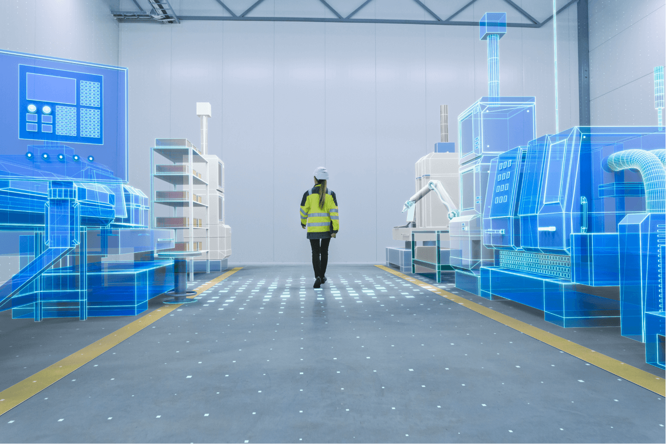
Geosoft provides the best-in-class 3D laser scanning services. Our ground-based or air-borne 3D laser scanning provides high accuracy to all projects that require field measurements. The advanced 3D laser scanners acquire and record the spatial locations of points rapidly and abundantly. We provide you with the best 3D laser scanning services by coordinating data of target profile surface to create a three-dimensional image model of structural and piping configuration for both - offshore as well as onshore.
Productivity Impact
99%
Clash free design
30%
Reduction in
engineering time and cost
engineering time and cost
15%
Reduction in
construction time and cost
construction time and cost
80%
Reduction in hot works related to field welds and onsite modifications
Applications
Virtual Constructability

Geosoft's 3D Laser Scanning and Modeling services help virtual construct ability of clients’ process development needs with unlimited design review options. This promotes operational innovation with agility and cost effectiveness.
Design Clash Analysis
Our Advantages
We are experts in 3D Laser Scanning and Modeling, making our services suitable for industrial sites, offshore installations and vessels, architecture and large-scale urban regeneration projects.
Business Continuity
We improve plant safety and ensure regulatory compliance with our meticulously engineered services.
Reducing Hotworks
We ensure that risk and costs associated with hotwork, construction rework and field fit-up welds are reduced.
Removal Of Uncertainty
We assure that there is immediate and significant reduction of uncertainty among project team regarding job implementation.
Completeness
We provide better visualization of scope of work and help clients not to miss minute details during work planning.
Cost Of Travel
We ensure reduction in execution and logistics costs. All rework and reviews are done on cloud based virtual model.
Collaboration
Cloud based virtual models provide collaborative opportunities by project team members, which is very convenient and successful.
Avoid Rework
We avoid rework as site survey scans are carried out accurately with follow-up technical audits and dimensional verification.
Software Integrations
We offer 3D Modeling using Autodesk SmartPlant, AVEVA, Bentley (Microstation), Intergraph SmartPlant, and CAD applications.
Our Process
Our 3D Laser Scanning and Modeling service are carried out to meet international standards, local regulations and complying client’s process safety guidelines.
Geographical Security
We ensure geographical data security, maintain confidentiality, data integrity and availability 24/7. We also implement multiple checks, logs, alarms and redundancy.
Data Storage
Compliance obligations require data availability for audits along with historical review for identifying long-term trends or investigating incidents.
Get in Touch for more details on 3D Laser Scanning and Modeling
Server error,Please try agin leter.
Thank You !
Loading...
Send
Trusted by brands across the globe

Copyright@geosoft2021


