


Offshore
Hydrographic Survey
Service

Offshore
Hydrographic Survey
Offshore hydrographic surveying is a highly varied role demanding deep understanding of environment underwater. Geosoft’s virtual models built through hydrographic survey indicate shorelines, tides, currents, seabed contours and submerged obstructions affecting marine construction, maritime navigation and dredging.
Applications
Rigmove

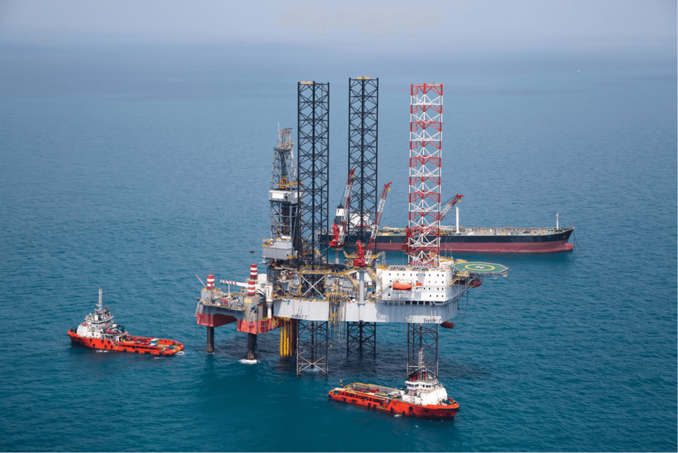
We provide hydrographic surveys for safe movements of offshore rigs, VLCCs, LNGC, erection of offshore platforms & offshore barges in deep sea & offshore navigational channels.
Pipeline and Cable Route Surveys
Our Specialization
We conduct hydrographic surveys to measure the depth and bottom configuration of water bodies, wherein we provide vital information to navigate the ocean and our nation's waterways.


Hydrographic mapping
Geosoft have invested a great deal in full ocean depth echo sounder multibeam and Sub-bottom profiling systems with variable frequency and high-resolution for charting, seabed profiling, locating manmade and natural objects (shipwrecks, debris, coral reef, UXO) and other hydrographic surveys.
Know More

Pipeline and cable route surveys
Geosoft team has immense expertise in mapping seabed corridors for planned cables and pipelines as well as inspection of existing interconnector cables, export cables and various pipelines - from coastal long sea outfalls to high pressure gas mines crossing hundreds of kilometres of seabed.
Know More

Dredging support and Volume Calculations
Geosoft Hydrographic services include mapping of the subsea, seafloor conditions of dredging areas borrow areas, disposal site and along the route of the dredge between dredging site and disposal area at the start of, at intervals during and for a period of time after the conclusion of a project.
Know More

ROV Services
Geosoft ROV Services include inspection, observation and mapping of sea bed, subsea assets and other utilities. In addition to still camera images and high resolution videos, this can be coupled with multi-beam echo sounder, side scans sonar and sub bottom profilers for seabed mapping and debris removal surveys.
Know More

RigMove and Positioning Surveys
Geosoft provide Positioning Surveys for safe movements of offshore rigs, VLCCs, LNGC, erection of offshore platforms and offshore barges, Jacket and topside installation, wind farms, production facilities, pipelines and cable installations, deep sea as well as offshore navigational channels.
Know More

Subsidence Monitoring
Geosoft provides a contactless innovative approach to monitor Subsidence of offshore and onshore structures remotely through Satellite-borne radar sensors. Offshore structures are usually very far away from the earth, thus it is difficult to monitor the subsidence problem through conventional civil engineering techniques, as it is hard to find a fixed reference for subsidence monitoring. The results from Satellite-borne radar sensors are provided within millimeter accuracy on regular intervals.
Know More

3D visualisation and Data Sharing
Geosoft provides Data Visualization Services such that the hydrographic data can be visualized, easily available, and usable for all the relevant stakeholders and utilize it for decision making. Our cloud platform allows easy sharing of the data as the processed point cloud can be uploaded to a cloud-based platform, which offers accurate visualization and an easy access to the data via a web browser.
Know More

Marine Environmental Monitoring services
Geosoft provides comprehensive Marine Environmental Monitoring and sampling services leveraged from the combination of our technical and scientific capabilities. Our marine environmental monitoring services include environmental baseline surveys, Environmental impact assessment, Marine Hydrodynamic and Pollution Modeling, Environmental Due Diligence, Phase I ESA (site inspection), Phase II ESA (assess contamination), Phase III ESA (contaminated site remediation).
Know More

Subsea Metrology
Subsea Metrology is the most advanced technical support for clients made available by Geosoft’s hydrographic survey team. This enables clients to get spatially accurate and dimensionally controlled measurement data for connecting subsea pipeline spools and intervention equipment. Geosoft’s Subsea Metrology, inspection and hydrographic services completely avoid rework as site survey scans are accurately carried out with follow-up technical audits and dimensional verification at every stage of fabrication spool development.
Know More
Get in Touch for more details on Offshore Hydrographic Survey
Server error,Please try agin leter.
Thank You !
Loading...
Send
Trusted by brands across the globe


Company
Follow Us

Copyright@geosoft2021