


GIS and
Aerial Lidar
Service

GIS and
Aerial Lidar
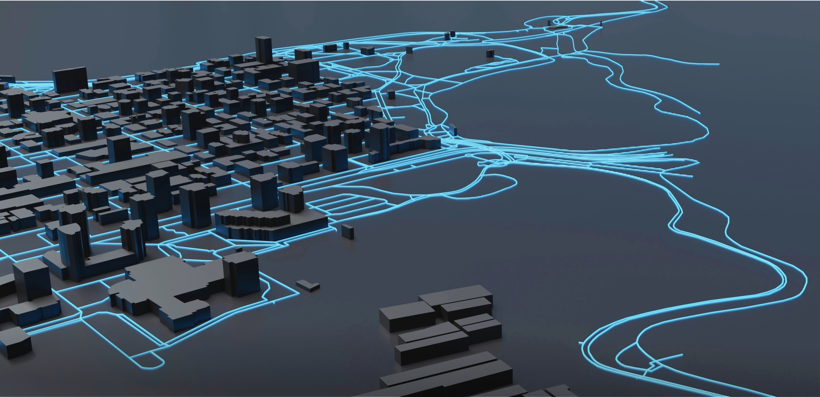
GIS is a technique for gathering geomatics or other imagery that makes use of aerial photography, lidar, remote sensing, and geophysical data. Geosoft employs cutting-edge aerial data collecting and processing technology to convert spatial data into precise and detailed map products and GIS datasets. Geosoft conducts aerial surveying for projects ranging from land subdivision and mining exploration to tunnel development and construction, using cutting-edge technology and an experienced team of aerial mapping specialists.
Applications
Oil and Gas Pipelines

Geosoft's professional team and cutting-edgetechnologies what make us stand out in the oil and gas surveying industry. We deliver accurate and timely survey findings by utilising drones and other airborne survey instruments.
Land planning
Our Specialization
Our services help you in gathering all the aerial data and mapping the data sets.


Oblique Imagery
Geosoft captures oblique aerial imagery with cutting edge camera technology. We use powerful software which helps in viewing, evaluating, assessing all the sides of the feature by capturing aerial photography at a downward angle of 40 to 50 degrees. The final output has a clear view that helps in analyzing the ground properly.
Know More

Mobile LiDAR mapping
Geosoft has a fleet of vehicles outfitted with an advanced mobile Lidar system, cameras, and position receivers to collect survey-quality 3D point cloud data. Raw data from the integrated GPS and lidar sensors is recorded on the internal data recording device and can be geo-referenced directly using Geodetics lidar tool software.
Know More

GIS Mapping & Data Development
Geosoft currently uses (GIS) to map and track all field assets related to the petroleum industry, Urban planning, and sensitive receptors. With staff in offices all across Middle east, working on local projects, they provide inputs of the projects around the world. This helps in analyzing, managing and mapping all types of data.
Know More

GPS Data Collection
Geosoft offers GPS survey services to a wide range of industries, including petrochemical, construction, land surveying, GIS, archaeology, and asset management. Our complete geospatial positioning solutions from lower-spec handheld GNSS to cm accuracy network rovers provide complete solutions to your business.
Know More

Photogrammetry Services
Geosoft captures high-quality images using drones fixed with high-resolution cameras and uses cloud-based photogrammetry platforms to process maps and 3D models of the area. This gives professionals the ability to design, plan, and point-to-point measurements without the need to manually capture data.
Know More

Topographic and Planimetric
Our topographic and planimetric data are integrated to create 2D maps and 3D models with precise measurements of petrochemical plants and public infrastructure. This imagery helps in commercial and residential planning, vegetation environmental management, and natural resource conservation.
Know More

Remote Sensing Services
Whether you require a big picture view of a huge agricultural or forestry site, Geosoft provides sensors and platforms with accurate and cost-effective methods for creating advanced cartographic products. Remote sensing services help in detecting and monitoring the physical characteristics of the Earth.
Know More

Aerial Ortho Imagery
Geosoft can capture HD 3 and 4 bands digital photography through its extremely high-resolution cameras. This helps in providing broad area capture and perfect visualization of our mother Earth. This imagery helps in understanding the accurate process and development of our environment and resources.
Know More

Airborne Lidar mapping
Through our own aircraft, Geosoft is empowered to provide rapid, accurate and high-quality data with our lidar services. We create fast and accurate terrain models which is beneficial for different industries. We have a stringent quality process in place which ensures our complete control on timelines and deliverables.
Know More
Get in Touch for more details on GIS and Aerial Lidar
Server error,Please try agin leter.
Thank You !
Loading...
Send
Trusted by brands across the globe


Company
Follow Us

Copyright@geosoft2021