
Topography & Dimensional Control

Geospatial services

We establish the geodetic control every other measurement on your project depends on. Primary and secondary GNSS networks, precise levelling, topographic detail survey, setting out and as-built verification — delivered to national datum and rigorously adjusted.

The Foundation Beneath Every Measurement – Survey Grade Positional Truth

We deliver professional control and topographic survey services that establish the geodetic framework every downstream discipline relies on. Our integrated survey capabilities — GNSS control network establishment, precise levelling, total station detail survey, RTK and PPK positioning, and rigorous least-squares adjustment — enable organizations to design, construct, and verify with confidence that every coordinate ties back to a single, defensible reference.

Our control and topographic survey services deliver primary and secondary control networks, benchmark and level networks, detailed topographic plans, digital terrain models and contour datasets, setting-out and dimensional control, and as-built verification surveys — across project areas spanning individual plots to national corridor programmes.

From initial control establishment to construction-phase verification and final as-built handover, we provide the positional certainty your project needs — traceable to national datum, supported by adjustment reports, and accepted by the authorities, engineers, and auditors who will scrutinise it.

How We Establish Survey Control

Four integrated disciplines, all observable onto the same control frame — eliminating the discrepancies that
fragment multi-contractor programmes.

Geodetic Control Networks & Datum Definition

Every project begins with a defensible reference frame. We establish primary and secondary control networks using long-observation static GNSS tied to continuously operating reference stations and national geodetic markers, then apply rigorous datum and geoid model transformations to deliver coordinates in the exact grid, projection, and vertical datum your design and authorities require — with the transformation parameters documented, not assumed.

Precise Levelling & Vertical Control

Vertical error is the quietest and most expensive kind. We run closed-loop precise levelling with digital levels and invar staves to establish benchmark networks and transfer height across sites, corridors, and structures, achieving first and second order accuracies with misclosures reported against standard tolerance. Every benchmark is monumented, described, photographed, and registered for reuse throughout the project lifecycle.

Multi-Sensor Topographic Detail Capture

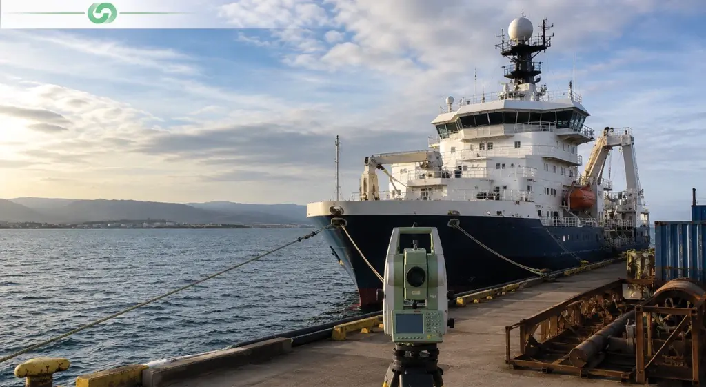
We match the acquisition method to the terrain, accuracy specification, and access constraints — robotic total station for high-accuracy detail and obstructed sites, RTK and PPK GNSS for open ground, UAV photogrammetry for large or hazardous areas, and terrestrial or mobile laser scanning where density and complexity demand it. All methods observe onto the same control network, so datasets merge without discrepancy.

Rigorous Adjustment & Accuracy Reporting

Observations are processed through least-squares network adjustment with full statistical testing — residual analysis, blunder detection, error ellipses, and confidence intervals at 95%. Instruments are verified to ISO 17123 procedures with traceable calibration certificates supplied. You receive not just coordinates but the evidence of their reliability, which is what independent verification and dispute resolution actually require.

What We Deliver: The Precise Spatial Foundation

PRIMARY & SECONDARY CONTROL NETWORKS

Monumented control stations with published coordinates in your project grid and vertical datum, supported by station descriptions, photographs, access notes, and recovery sketches. Delivered with full GNSS observation logs, baseline processing results, and least-squares adjustment reports including error ellipses and confidence statistics.

TOPOGRAPHIC SURVEY PLANS & DETAIL DRAWINGS

Fully detailed topographic plans in AutoCAD DWG, DXF, and PDF showing spot levels, contours, boundaries, buildings, roads, drainage, utility covers, vegetation, and site features to an agreed feature code library. Drawn to your CAD standards, layer conventions, and title block for direct handover into design.

DIGITAL TERRAIN MODELS & CONTOUR DATASETS

Triangulated surface models and gridded DTMs with derived contours at specified intervals, break lines, slope and aspect surfaces, and cross-sections or long-sections along design alignments. Supplied in Civil 3D, LandXML, GeoTIFF, and point formats for direct import into earthworks, drainage, and road design software.

LEVEL NETWORKS & BENCHMARK REGISTERS

Precise levelling networks with monumented benchmarks, closed-loop misclosure reports, and a maintained benchmark register documenting location, description, reduced level, order of accuracy, and observation date — providing a stable vertical framework for construction, settlement monitoring, and future phases.

SETTING OUT, DIMENSIONAL CONTROL & AS-BUILT SURVEYS

Construction setting out to design coordinates, dimensional control for fabrication and steelwork fit-up, verticality and alignment checks, and as-built verification surveys with deviation reporting against design tolerance. Delivered as marked-up drawings, coordinate schedules, and clear pass or fail conformance statements.

SURVEY REPORTS, ADJUSTMENT DATA & GIS/CAD DELIVERABLES

Complete survey reports documenting methodology, instrumentation, calibration certificates, control ties, adjustment statistics, and achieved accuracy against specification. Spatial data delivered as GIS-ready layers, CAD drawings, coordinate schedules, and direct loads into your enterprise geodatabase or asset management platform.

Industries We Serve

industry image

deliver image

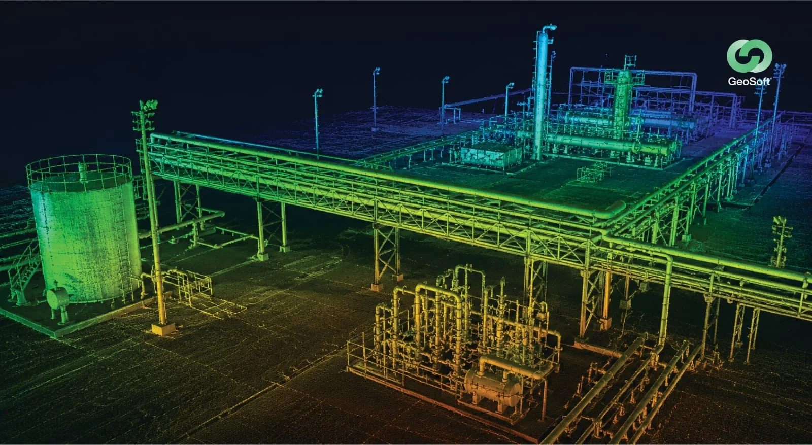
Oil & Gas

Pipeline Route Survey | Facility Change Detection | Methane Emission Monitoring | | Offshore Platform Surveillance | Oil Spill Detection | SCADA-GIS Integration | AI/ML based Asset Monitoring

industry image

industry image

AEC & Building Documentation

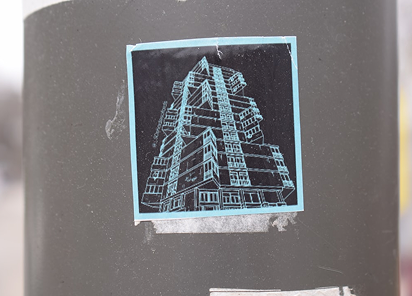
Scan-to-BIM Conversion | Construction Progress Monitoring | As-Built Verification | Renovation Design Support | MEP Coordination

industry image

deliver image

Infrastructure & Transportation

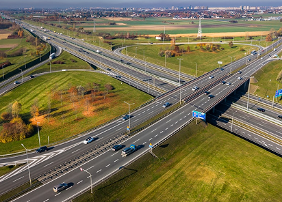
Traffic flow simulation | Urban Planning | Citizen Service Mapping | Emergency Management | Public Health Mapping | Rail Network Monitoring | InSAR Settlement Monitoring | Digital twin Development

industry image

deliver image

Mining & Quarrying

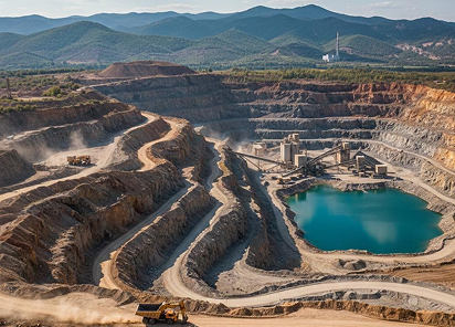
Mineral Mapping | Open Pit Volume Monitoring | Tailings Dam Surveillance | Mining Subsidence Monitoring | Progressive Rehabilitation Tracking | Environmental Compliance Reporting | HSE Virtual Tour

industry image

industry image

Manufacturing & Industrial

Plant Documentation | Equipment Routing | Maintenance Planning | Digital Twins | Risk Management | VR HSE Training

industry image

deliver image

Utilities & Networks

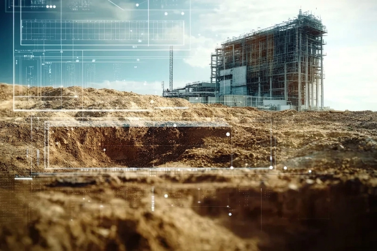
Underground Mapping | Route Planning & Conflict Detection | Asset Documentation | Damage Assessment | Safety Verification

industry image

deliver image

Coastal, Marine & Hydrographic

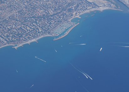
Shoreline Change Detection | Satellite Bathymetry | Coastal Erosion Monitoring | Marine Habitat Mapping | Flood Inundation Modelling | Shallow Water Analysis

industry image

industry image

Environmental Management

Environmental Impact Assessment | Habitat Mapping | Carbon Accounting | Water Quality Monitoring | Land Degradation Assessment | Climate Change Indicators | Sustainability Reporting

industry image

deliver image

Defense, Security & Intelligence

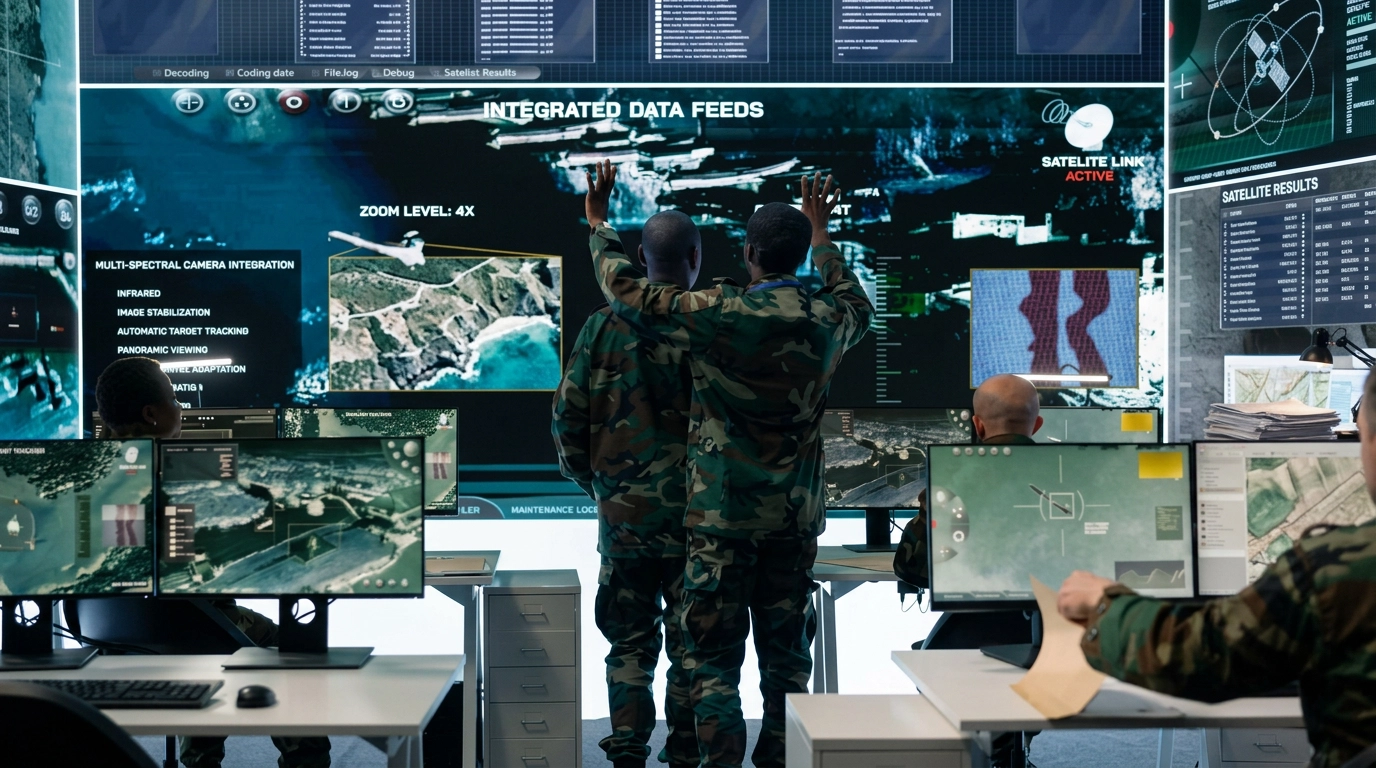
Force Deployment Planning | Terrain Analysis | Border Surveillance Analytics | Geospatial Intelligence (GEOINT) and Image Intelligence (IMINT)

Our Methodology: Precision at Every Stage

A proven four-stage process ensuring accuracy, compliance, and actionable insights

deliver image

Plan with Intelligence

Before mobilizing, we begin with a data-driven understanding of your site. We review existing drawings, prior survey records, available control, access limitations, hazardous zones, operational constraints, and the accuracy specification the work must meet — then design the network and method to satisfy it.

deliver image

Precision Field Acquisition with Real-Time QC

Our field teams deploy fully calibrated instruments in strict accordance with manufacturer specifications and project QA protocols. Intelligent workflows deliver real-time on-site feedback on coverage, closure, redundancy, and data quality — so errors are caught and re-observed while the crew is still on site.

deliver image

Rigorous Processing, Adjustment & Validation

Baselines are processed, networks adjusted by least squares, and observations tested statistically for blunders and systematic error. Independent check measurements verify results against the specification, and every transformation, calibration, and residual is documented rather than absorbed silently into the output.

deliver image

Decision-Ready Deliverables

Outputs are not merely coordinates but enterprise-ready information assets. All datasets undergo independent quality assurance audit with achieved accuracy reported against specification. We ensure your organization can immediately operationalize the survey for design, construction, compliance, and asset management.

Geospatial Case Studies

We're building a greener tomorrow. Our solutions optimize operations, cut waste, and lower emissions, supporting net-zero goals.

Geospatial services

Geotechnical Investigation Services

Navigating complex border regulations and remote logistics to deliver critical foundation design parameters. Our exacting approach in challenging border regions demonstrates global capability grounded in…

52
Boreholes Completed
100%
Regulatory Compliance
25m
Maximum Investigation Depth
Geospatial services

Precision Geodetic Monitoring

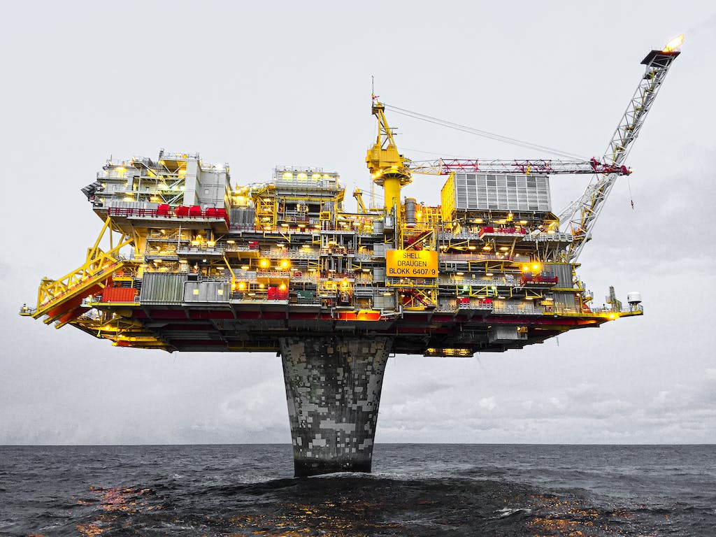
Millimeter-accurate subsidence monitoring across 35 offshore platforms using advanced GNSS technology and international reference frames. Our exacting survey approach achieved sub-centimeter precision over 100km baselines…

±3mm
Positioning Accuracy
35
Platforms Monitored
100km
Baseline Precision
Geospatial services

Geospatial Mapping

Revolutionizing large-scale topographic mapping with advanced mobile LiDAR technology. Our rapid deployment solution captured 19 million square meters of complex terrain in record time, delivering…

4 Weeks
Project Completion
80%
Data Accuracy
100%
Data Accuracy

Why Organizations Choose Our Control & Topographic Survey Services

Technical Excellence

GNSS control networks adjusted to millimetre-level precision over long baselines, precise levelling to first and second order tolerance, and topographic detail typically within ±10–20 mm — all backed by ISO 17123 instrument verification, traceable calibration certificates, and documented least-squares adjustment statistics.

Operational Efficiency

Multi-method deployment and streamlined processing compress survey programmes without compromising accuracy. Combining GNSS, robotic total station, UAV, and scanning on a single control framework removes duplicated mobilisations and eliminates the discrepancy reconciliation that fragmented survey packages inevitably produce.

Integrated Solutions

Complete service delivery from control establishment and field acquisition through processing, modelling, and specialized analysis — all under one roof. No fragmented vendor chains, no data conversion losses, no accountability gaps between the survey that was commissioned and the design that depends on it.

Industry Expertise

25+ years of specialized knowledge across regulated, high-stakes environments — live refineries, offshore platforms, active rail corridors, and permitted heritage sites. We don’t just capture geometry; we understand the tolerance regime, the permit conditions, and the consequence of getting a datum wrong.

Proven ROI

Our clients consistently document measurable returns: 30–50% reduction in field rework, 20–40% faster project delivery, elimination of fabrication mismatches, and disputes closed on evidence rather than argument. Reliable control isn’t an overhead — it’s the cheapest insurance on the entire capital programme.

Global Mobilisation, Local Expertise

Eight regional offices across Qatar, Saudi Arabia, the UAE, Brunei, India, Norway, the USA, and Australia enable rapid crew mobilisation with local datum knowledge, regulatory familiarity, and language capability — turning a technically correct survey into one the local authority actually accepts.

Contact Our Specialist

Get in touch to discuss comprehensive terrestrial and aerial laser scanning addressing your project requirements.


Global Operations
24/7 support across multiple time zones