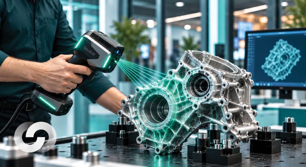
3D Laser Scanning for Reverse Engineering
3D Laser Scanning for Reverse Engineering: From Physical Parts to Production-Ready CAD A critical machine component fails, but its original
Get direct access to the experts who have implemented complex technical solutions in challenging offshore, industrial, and infrastructure environments.

3D Laser Scanning for Reverse Engineering: From Physical Parts to Production-Ready CAD A critical machine component fails, but its original
Introduction For most of its history, geospatial work answered a single question: where? Where is the pipeline, where is the
Why Satellite Imagery and AI Matter Now Satellite imagery has evolved from static pictures of the Earth into a dynamic
Why a single high-fidelity capture of an asset pays back for years, and how 3D laser scanning, and digital twins
Introduction Every vessel dimension survey faces the same quiet bottleneck: common points. Whether you are laser-scanning a ship hull,
Reality capture technologies such as 3D laser scanning, mobile mapping, and photogrammetry are increasingly used to create high‑fidelity digital representations
Advanced AI Classification in LiDAR: Turning Point Clouds into Real Decisions LiDAR has changed how we see the world.
Introduction The management of physical infrastructure has entered a period of fundamental transformation. Aging assets, constrained capital budgets, climate-induced risks,
Industrial facilities are complex, high-value environments. Refineries, petrochemical plants, power stations, manufacturing facilities, and offshore platforms are packed with thousands
Introduction: The Unseen Foundation We stand on the shoulders of giants—not of flesh and blood, but of concrete, steel, and